The Bieszczady Range
The Polish Bieszczady form the northwestern edge of the Eastern Carpathians, occupying the triangle between Poland, Ukraine, and Slovakia. The terrain is dominated by long, treeless ridges known as połoniny — a landscape type associated with eastern Carpathian pastoralism. The range reaches its highest point at Tarnica (1,346 m).
Much of the core area is protected by Bieszczady National Park (Bieszczadzki Park Narodowy, BdPN), designated as a UNESCO World Biosphere Reserve and part of the East Carpathian Biosphere Reserve shared with Slovakia and Ukraine. The park covers approximately 292 km².
The Połoniny Circuit
The principal long-distance route in the Bieszczady is an informal circuit following the main red trail along the ridges. Most trekkers complete the circuit over three to four days. The central hub is Ustrzyki Górne, a small settlement with a national park visitor center, seasonal accommodations, and a bus connection to Sanok and Rzeszów.
Stage 1: Ustrzyki Górne to Tarnica and Halicz
The red trail from Ustrzyki Górne ascends onto Połonina Caryńska before reaching Tarnica, the highest summit in the range. The ridge continues to Halicz (1,333 m) and the pass at Przełęcz Bukowska, where a shelter (schronisko) provides overnight accommodation. The stage covers approximately 14–16 km with around 600 m total ascent.
Stage 2: Halicz to Połonina Wetlińska
From Przełęcz Bukowska, the trail descends west before climbing onto Połonina Wetlińska, a wide meadow ridge with long sightlines toward the Slovak border. The PTTK shelter at Chatka Puchatka sits near the highest point of this section and is a popular overnight stop. Stage length is approximately 12–14 km.
Chatka Puchatka
One of the most recognized mountain shelters in the Bieszczady, known informally as the "Piglet's Hut." It operates seasonally and has limited sleeping capacity. Advance booking is advisable for weekends from June through September. No vehicle access; all supplies are brought in by hikers or by horse.
Stage 3: Wetlińska to Smerek
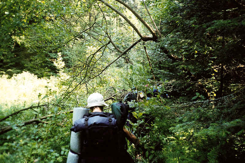
Descending from Połonina Wetlińska, the trail crosses forest terrain before reaching the village of Wetlina, the main resupply point on the western side of the circuit. From Wetlina, the red trail climbs to the Smerek massif (1,222 m) and then continues back toward the eastern ridge. This stage involves more forest walking and is shorter, around 10–12 km.
Closing the Loop
From Smerek, trekkers can return to Ustrzyki Górne via the valley path along the San River headwaters or continue along secondary trails through the village of Berehy Górne. The total circuit distance is approximately 55–65 km depending on variants chosen.
Wildlife in the Bieszczady
The Bieszczady host one of Poland's largest concentrations of large predators and herbivores. European bison (wisent) were reintroduced and now number several hundred individuals in the wider Biosphere Reserve area. Brown bears, wolves, lynx, and red deer are present throughout the park. Encounters on trail are uncommon during the day but night movements are active.
BdPN regulations prohibit approaching or feeding wildlife. The park authority issues periodic updates on areas with heightened predator activity, available on the park website.
Access and Transportation
The Bieszczady are the most remote mountain region in Poland by public transport. Ustrzyki Górne is reachable from Sanok by PKS coach (approximately 2.5–3 hours), and Sanok is connected by train to Rzeszów. Service frequency drops significantly outside summer months. Private vehicle access is straightforward from the E371 road corridor.
The border with Ukraine runs along part of the main ridge. Crossing is not possible here; the nearest pedestrian crossing is at Krościenko (basic facilities). The Slovak border section is open to hikers at designated ridge crossings.
Regulations and Park Entry
Bieszczady National Park charges an entry fee. Camping is permitted only at designated sites and in the immediate vicinity of licensed shelters. Off-trail movement is restricted in core protection zones. Detailed zone maps are available from the park visitor center in Ustrzyki Dolne and on the BdPN website.
The Bieszczady trail network is maintained partly through volunteer work organized by PTTK. Trail conditions can deteriorate after heavy rainfall, particularly on descent paths in forest sections.