
Tatra Mountains Hiking Guide: Routes, Permits & Access
An overview of marked trails inside Tatra National Park, including the approach to Morskie Oko and the high-altitude route to Rysy peak.
Read the guideA structured reference for hiking in Poland's mountain ranges and nature reserves — covering routes, terrain, access points, and seasonal conditions.
Poland's mountainous south offers distinct trekking environments, from the granite peaks of the Tatras to the rolling ridges of the Bieszczady.
The highest range in Poland, straddling the Slovak border. Marked trails range from valley walks to the summit of Rysy (2,499 m). Managed by Tatra National Park.
Remote southeastern highlands with open ridge trails called połoniny. Known for low visitor density, bison presence, and the Bieszczady National Park.
Giant Mountains along the Czech border. The main ridge trail links several shelters and passes through subalpine peat bogs protected by Karkonosze National Park.
Limestone gorge terrain above the Dunajec River. The Three Crowns massif offers panoramic views; trail network is compact and suitable for day trips.
A long mountain chain in southwestern Poland. Includes Table Mountains (Góry Stołowe) with distinctive sandstone labyrinths and well-developed trail infrastructure.
A series of ranges stretching from west to east. Babia Góra (1,725 m) is a notable summit; the Beskid Niski range is popular for multi-day backpacking.
Detailed coverage of specific routes, national park regulations, and seasonal access conditions.
An overview of marked trails inside Tatra National Park, including the approach to Morskie Oko and the high-altitude route to Rysy peak.
Read the guide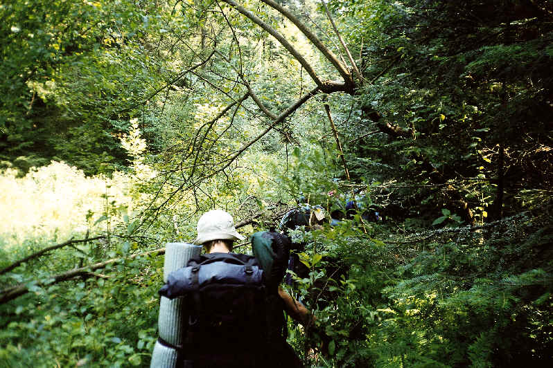
A guide to the multi-day połoniny traversal in southeastern Poland, including trail junctions, shelters, and wildlife considerations.
Read the guide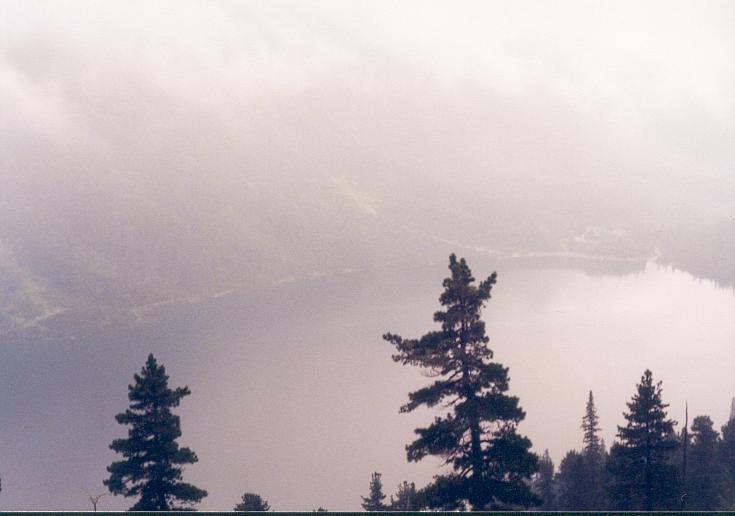
Comparative overview of Poland's mountain national parks — protected zones, permit requirements, and designated camping areas.
Read the guidePractical considerations for trekking in Polish mountain ranges, applicable across regions.
Summer (June–September) offers the most accessible conditions. Spring snowmelt extends into May at higher elevations. Autumn brings stable weather but shorter daylight. Winter routes require crampons and ice axes on exposed sections.
Poland uses a standardized color-coded trail system administered by the Polish Tourist and Sightseeing Society (PTTK). Red trails indicate main ridge routes; blue, green, yellow, and black mark secondary connections of increasing difficulty.
Mountain weather changes rapidly in the Tatras. Layer clothing, carry waterproofs regardless of forecast, and use trekking poles on rocky descent sections. Emergency shelters are staffed but require advance booking in peak season.
Official bodies and databases relevant to trail planning in Poland.
The official park authority publishes entry fees, protected zone maps, and seasonal trail closures. Permits are required for certain high-altitude areas.
tpn.pl →The Polish Tourist and Sightseeing Society maintains the national trail network, including distances, waypoint data, and shelter listings across all mountain ranges.
pttk.pl →